I’m a scheduler. I dutifully map out all of my activities on my Everygirl Day Planner, often months in advance. It’s not that I’m rigid, it’s mainly that I’m afraid I’ll forget a commitment. But it’s also true that I’m rarely spontaneous when it comes to significant outings. Today, however, was different. And it turned out amazing!
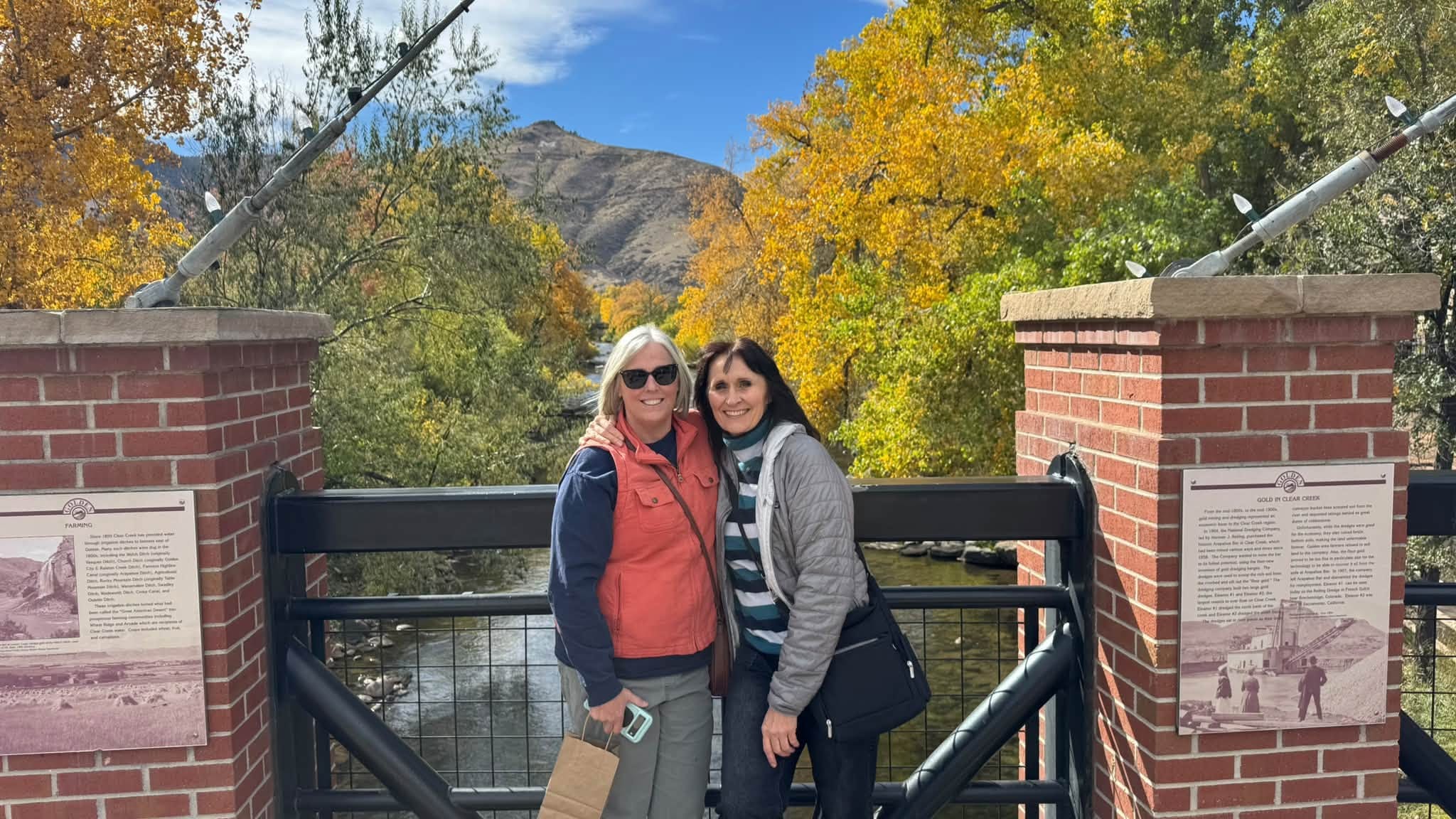
I had plans to meet a friend for lunch in Golden, which is such a cool town! So Colorado! I hadn’t been there in quite a while and it dawned on me that I’ve been wanting to ride a trail near there in Clear Creek Canyon along Hwy 6. If you’re from the area, you’ll know Hwy 6 as the connector between Hwy 93 and I-70 that snakes through an incredibly picturesque canyon. On our last car trip through there, I noticed a lot of new parking lots, trailheads, and pedestrian bridges. A quick search on Google revealed that just last November, a significant stretch of mixed-use trail had opened there.
When I brought up the idea of riding this trail VERY last minute this morning, my friend thought about joining me. However, today began very cold and foggy and she was concerned the weather wouldn’t cooperate. I decided to go anyway, on my own, after we had lunch together. And I’m so glad I did because by the time I arrived at the trail, it was sunny and mild. A perfect, crisp fall day.
The Gateway Trailhead is located at the far eastern end of Clear Creek Canyon just outside of Golden, Colorado. The canyon itself runs roughly east-west for approximately 16 miles. This trailhead has plenty of parking, a large bathroom, and access to the Peaks to Plains Trail, signified as “P2P” on trail signage.


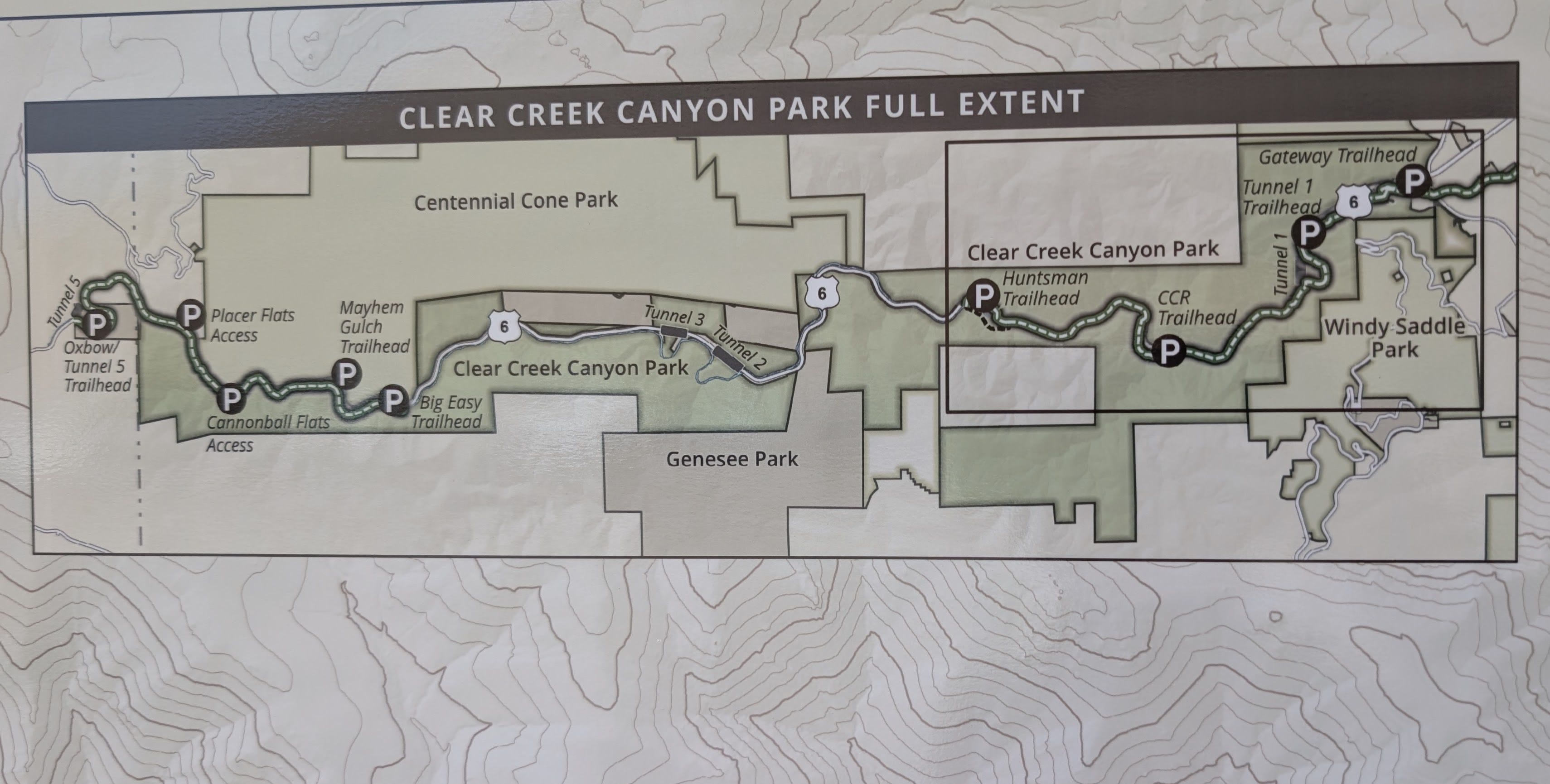
A scan of the map at the trailhead showed that two portions of the canyon are now paved (the darker dotted lines below): the far western end and the far eastern end, where I was parked. There is still a six mile stretch in the middle that’s not yet complete.
Here are some pictures of the ride out, heading west, which is the uphill direction. It’s quite gradual, so not much of a strain. The paved surface is impeccably smooth and the railings and bridges are all well built and fit into the natural aesthetic. The river is generally on the left as you head west and the highway is often just to your right.


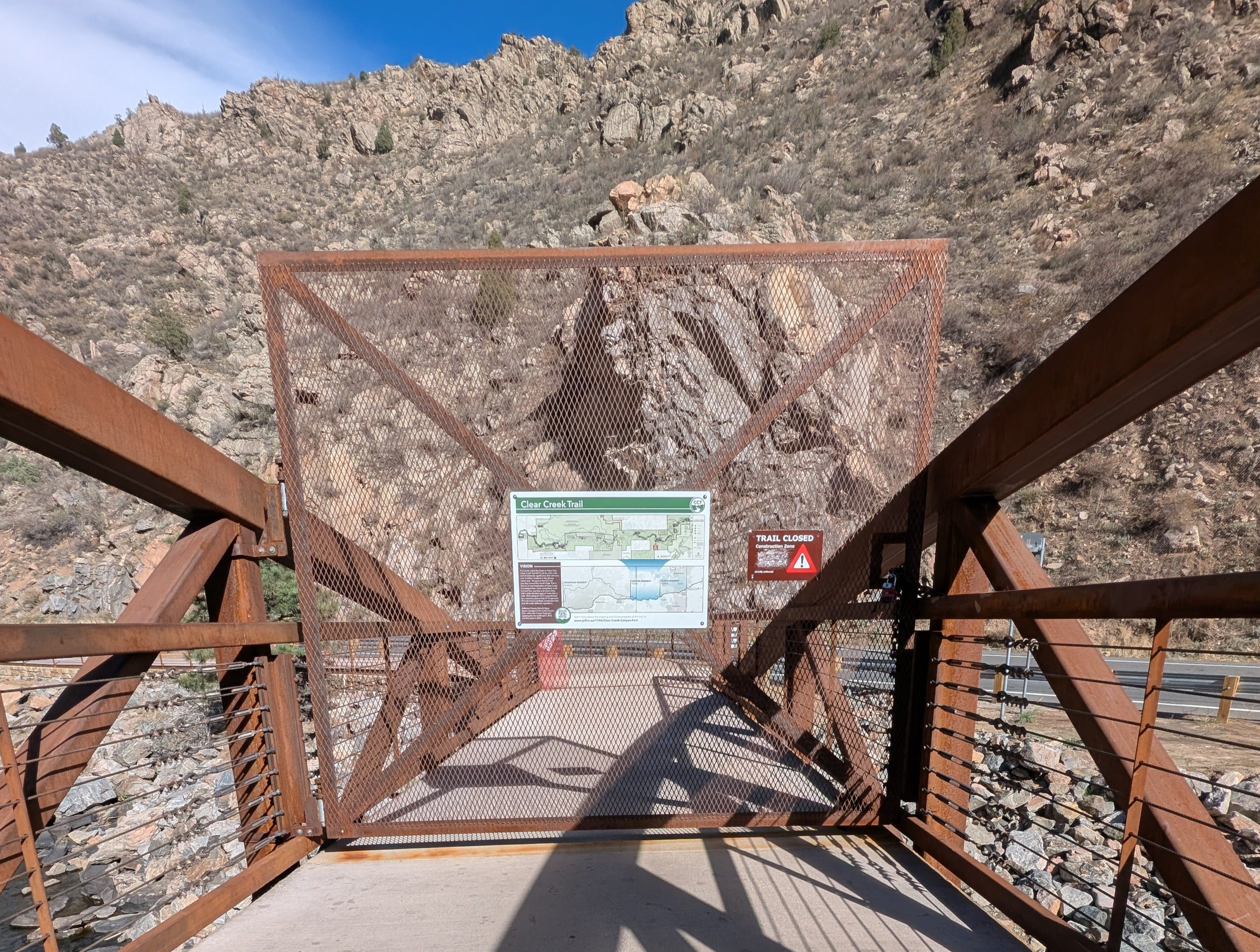
I was hoping to ride as far west as Huntsman’s Trailhead, but the path currently ends at the CCR Trailhead, which was just 3 miles from where I’d started. The last 1.5 miles to Huntsman’s is still under construction. Jefferson County Parks and Open Space doesn’t mention an opening date, but says “Expect construction through 2026.”
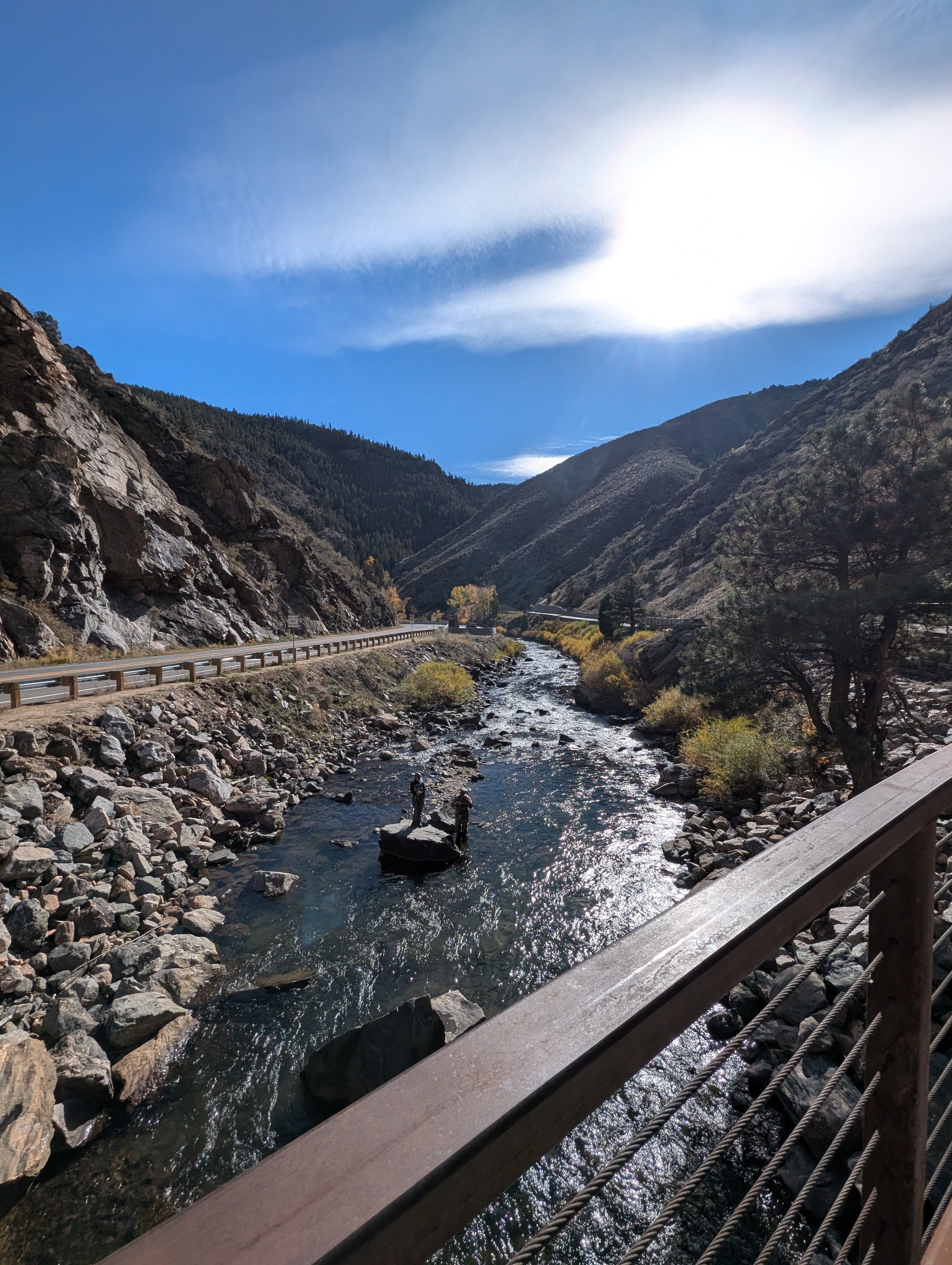
This is the spot where I turned around to head back east. See the fly fisherpeople in the river?
Now that I was pointed downhill, I could build up some speed. Video for proof!
Heading back to the starting point, you get to enjoy the views all over again from the other direction. In the fourth picture, notice the tunnel on the highway. That’s Tunnel 1. As a point of interest, there are 5 working vehicle tunnels in Clear Creek Canyon.


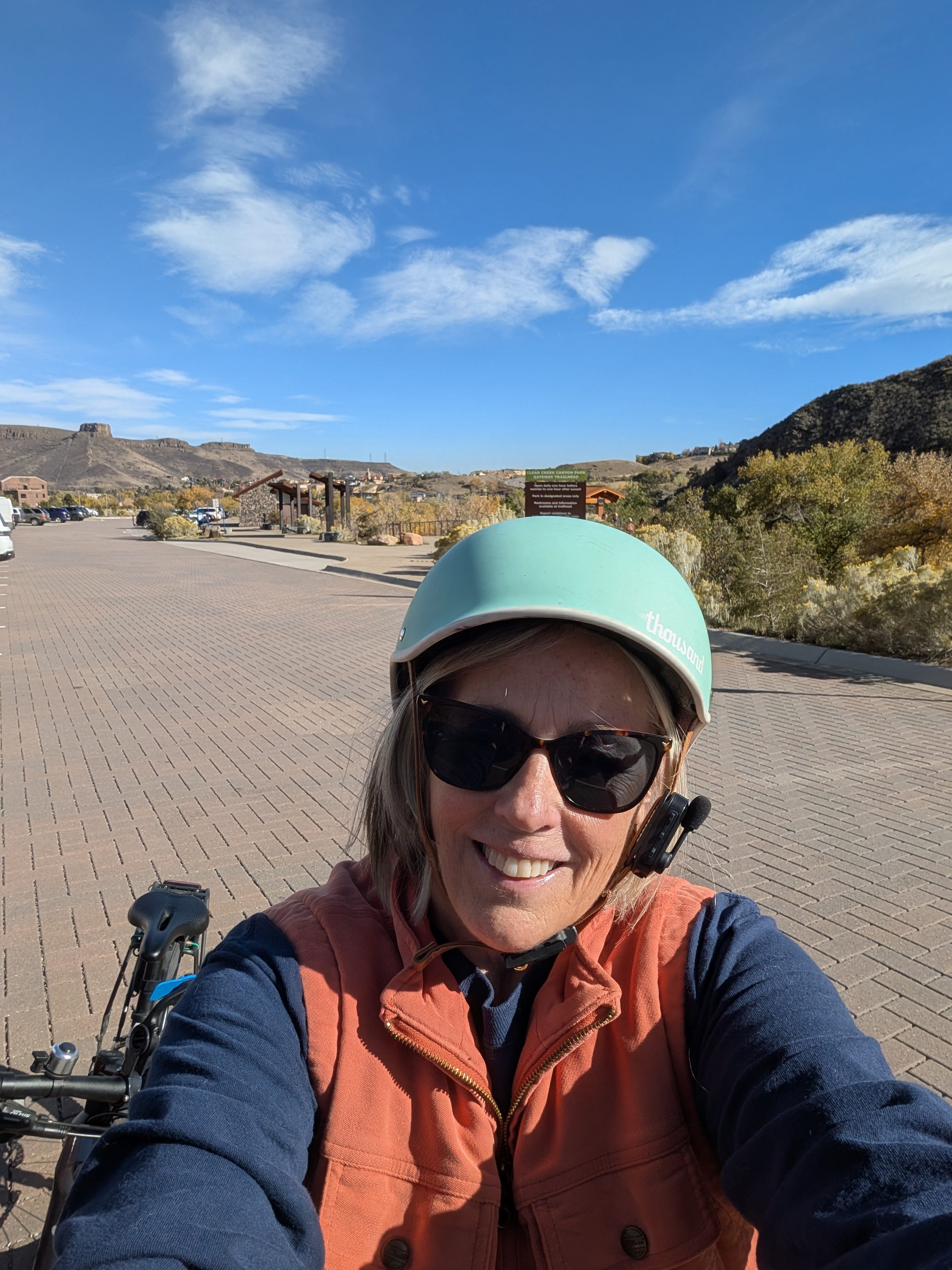
Back at the parking lot I realized that I was so absorbed in the amazing scenery that I didn’t take any pictures of myself. But here’s one of this happy rider back at the car! It was just a bite-sized ride, but a perfect short outing on a beautiful fall day.